From R&D to deployment
Our first newsletter: the year an IIT Bombay research project on land records became land intelligence running inside credit underwriting, lending strategy and government planning. Partnerships, press, plot-level coverage across five states, and a rebuilt Map View.
↓ Download the PDFA note from our team
This year was big for us. What started as a research project on land records at IIT Bombay is now powering credit underwriting decisions, lending strategy, and government planning across multiple states. For the first time, we are seeing our technology reach the field and generate real impact on how institutions understand and interact with rural India.
Culturally, we've always been more of a spatial intelligence lab than a SaaS, and that is an identity we have retained and will continue to develop even as we grow sharper in value deliverance across BFSI and other sectors.
This is our first newsletter. We wanted to create a simple way to share what we're building, what we've learned, and where we're headed. Whether you're a customer, a potential partner, or someone who's been following our journey — thank you for being part of this.
— Aaryan & the Terrastack Team
Highlights
Did you know: 66% of civil court cases are land-related disputes in India.
Partnerships & Collaborations
Google DeepMind
We deepened our ALU and AMED API data partnerships, advancing satellite imagery for agriculture and enabling partnerships with the FAO, UN, and World Bank.
SINE IIT Bombay
In our second year as a SINE incubatee, we've grown from an IIT Bombay research project to a rapidly growing spatial intelligence firm, with mentorship guiding our product and customer strategies.
MeitY Grant
Selected for the MeitY TIDE 2.0 Grant. Presented our roadmap for accelerating rural BFSI coverage to Shri Jitin Prasada, Union Minister of State for Commerce and Industry, and the MeitY Startup Hub team at IIT Bombay.
Events & Recognition
Operation Dronagiri
Participated in the National Geospatial Policy 2022 initiative, presenting our Washim pilot to Chairman Srikant Sastri and team at Bharat Mandapam, Delhi. Used the stage to showcase our land intelligence platform at the GeoSmart India Conference, along with its use cases in financial inclusion and access.
Google DeepMind AI for Science Demo Day
We demonstrated how Terrastack uses DeepMind's APIs to extract agricultural intelligence from satellite imagery, to media, partners and potential customers.
ICICI Bank Innovate AI
We presented our land intelligence platform at ICICI Bank's innovation showcase, demonstrating how macro-level analytics on climate risk, land productivity, and commercial concentration support rural expansion strategies.

Lab to Impact: Google on Health, Science and Society
Manned a stall alongside Google DeepMind's agriculture team, showcasing how our products can improve credit and insurance access for India's farmers. The event brought together media, technologists, government partners, and industry leaders.
HDFC Life InsUReka — Winner
Won HDFC Life's innovation challenge at SINE IIT Bombay. Selected from 100+ applications, shortlisted to 25, and emerged as winner among 10 finalists. Our solution enables rural life insurance underwriting using land and crop data as income proxies for customers lacking traditional documentation.
Bharat Innovates National Basecamp
We presented our land intelligence platform at ICICI Bank's innovation showcase, demonstrating how macro-level analytics on climate risk, land productivity, and commercial concentration support rural expansion strategies.
Land Governance Workshop at TISS
Presented at TISS Land Governance workshop alongside Settlement Commissioner Shri Niranjan Sudhansu on how GIS systems can solve the "missing spatial link" in administration.
Terrastack in the News
Featured in Google's AI for Indian Agriculture announcement
Featured in Google's official AI for Indian Agriculture announcement, showcasing Terrastack's use of the ALU API for farm boundary mapping.
An early adopter building rural land intelligence
Spotlighted as an early adopter building rural land intelligence systems to modernize land records and assess climate vulnerability using Google's ALU API.
A validation partner for Google's agricultural AI models
Recognized as a validation partner for Google's agricultural AI models, alongside the Government of Telangana, providing independent accuracy verification.
How the AMED API enables data-driven agriculture
Featured for insights on how Google's AMED API is enabling data-driven agriculture in India.
Pioneering use of the ALU and AMED APIs
Highlighted for pioneering use of Google's ALU and AMED APIs to power rural land intelligence for agricultural lending and climate risk assessment.
Broader Coverage
Featured across Business Standard, CXOToday, and SMEStreet in coverage of Google's AI for agriculture launch and Terrastack's role in field adoption.
Product Launches & Updates
Our platform has three core surfaces: Land Intelligence Reports, Enterprise Map View, and APIs. This quarter saw our coverage increase to 5 major states — Maharashtra, Madhya Pradesh, Rajasthan, Andhra Pradesh and Odisha, with many more in our pipeline.
Rural Land Intelligence Reports
Available at www.terrastack.ai/report, our report bundle options include:
- Plot Summary: A one-pager with overall plot-level risk and productivity signals
- Plot Comprehensive: Detailed analysis across land record fit, agricultural potential, market access, and infrastructure
- Plot Extensive: End-to-end intelligence with deep dives on agricultural revenue, climate risk, long-term weather patterns, and land valuation
- Village Report: Village-level growth and commercial viability insights
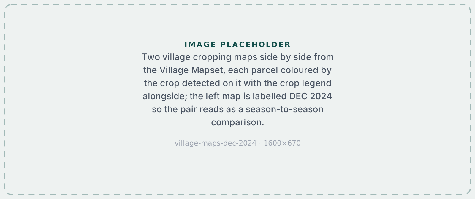
- Village Mapset: Visual maps revealing village-level resources and risks
What's New?
- Land Records Mismatch & Auto-Correction: Digital land record maps often contain inaccuracies introduced during digitization or georeferencing — making it difficult to evaluate a parcel's fit with actual possession boundaries. Our proprietary "jitter-fit" algorithms, built on Google's ALU farm plots (derived from 30cm satellite imagery), auto-correct parcel locations in real-time. This enables meaningful evaluation of land record parcels against possession boundaries, using our research-published "excess area" metric, as well as more accurate identification of farms linked to each owner.
- Farm Plots & Cropping Revenue: Track what's actually growing on any land parcel, built on top of satellite intelligence and sophisticated yield and price modeling. We provide crop-wise sown areas, planting schedules, estimated revenue projections, and historical patterns to understand real productivity. Useful across sectors, from cashflow estimation for underwriting to bio-residue cycle tracking for biofuel.

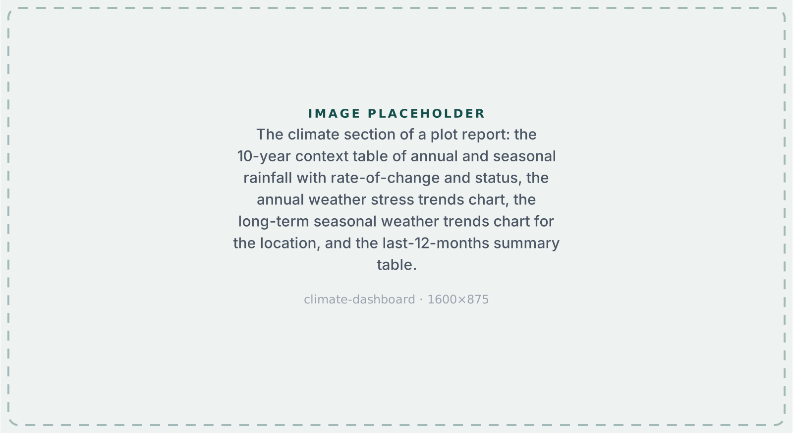
- Weather Patterns & Climate Risk: Dynamic climate intelligence with last month performance, 12-month trends, 10-year context, and early-warning drought, heat stress, and flood alerts. Combined with our terrain-based wet spell and dry spell risk parameters, this section gives an overall assessment of historical and potential risk and variability of sustenance.
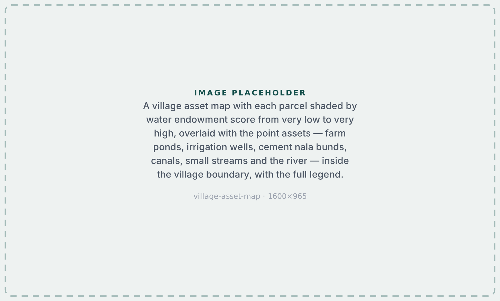
- Village-level Asset Maps: Detailed modeling of villages based on commercial activity (shops and their cashflow), growth (night light and construction), financial inclusion (bank branches, mitras, atms), education access (schools, colleges), healthcare access (bedded hospitals, PHCs, sub centers). Carefully curated amenity maps derived from GoI datasets, private collections, state programmes, and satellite intelligence. Paramount strategic inputs for branch catchment analysis.
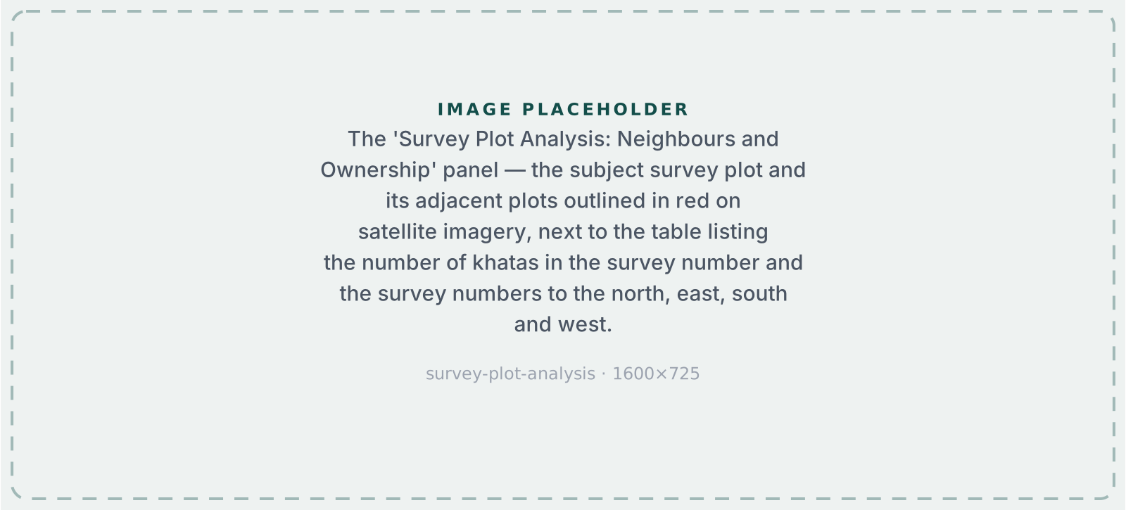
- Survey Plot Analysis — Neighbours & Ownership: Complete ownership mapping of your survey and adjacent plots. See all khata holders, neighboring survey owners, and area holdings, essential for acquisition planning and boundary negotiations.
Terrastack Map View
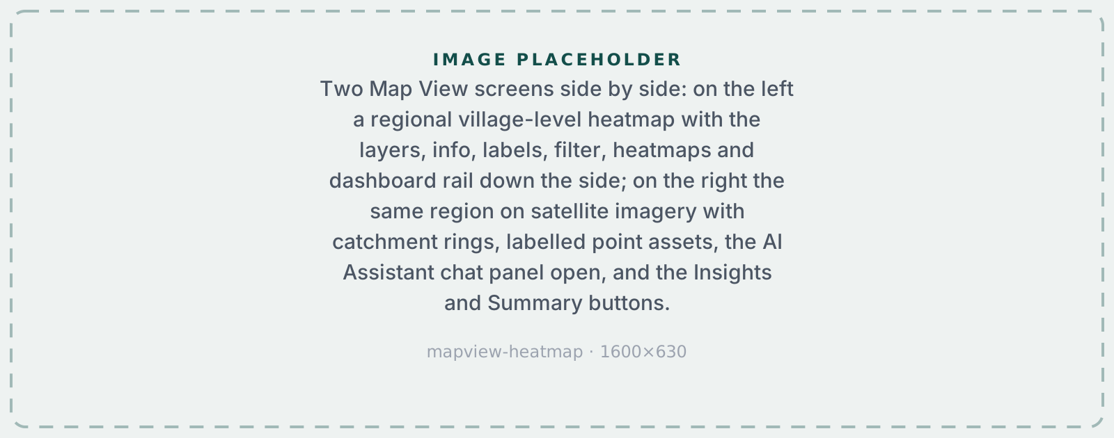
We significantly enhanced our Map View platform, enabling deeper spatial analysis, faster insights, and greater flexibility for enterprises. Hosted on www.terrastack.ai/mapview, it allows users to build visual analytics and generate strategic inputs at plot, village, regional and national levels.
What's New? Interactive Intelligence Layers
- Multi-layer visualization: Overlay spatial datasets spanning commercial establishments, administrative boundaries, infrastructure networks, basic amenities, agricultural assets, and other foundational base layers.
- Information Mode (Info View): Click any region or point on the map to access location attributes / asset identifiers.
- Labeling: Turn on 'Labels' to view custom text from uploaded datasets directly to specific layers or locations on the map.
Advanced Analytics & Heatmaps
- Custom Heatmaps & Filters: Users can apply numerical (e.g. composite risk scores) or categorical (e.g., color-coded by hospital type) heatmaps and filters for plot ('cadastral') / village layers.
- Summary Insights: Run predefined or custom SQL queries across multiple uploaded datasets to generate summary insights — identifying under-penetrated villages across a branch? Locating the most at-risk parcels via climate disaster across your portfolio?
- Summary Views: Create tailored views with custom filters, custom heatmaps, and pre-defined summary insights in a single click.
Enterprise Dashboard
- Custom Data Ingestion: Visualize both Terrastack's intelligence and your organization's proprietary data (branches, leads, customer locations) on a unified map.
- Hierarchy-Based Access Control: Define custom organizational hierarchies with role-based permissions for scalable deployment.
- Custom Analytics Engine: Build and save custom filters that auto-apply to team workflows. Create predefined heatmaps with automated footprint layers. Write SQL queries across multiple datasets for bespoke insights, or let our system suggest relevant queries.
APIs
For teams that want to embed land intelligence directly into their workflows, lending platforms, insurance systems, and agri-fintech apps, Terrastack APIs deliver ready-to-use data streams across all of India, for different sets of use cases.
What's New? API Coverage & Performance
- New API endpoints that give access to our administrative metadata, real-time land assessment, risk scoring, and report generation are now available programmatically for all of India.
- Faster performance: median API latency is now under 2000ms for standard queries, and average generation time is down to <30s for all reports.
On The Horizon
A glimpse of what we're building…
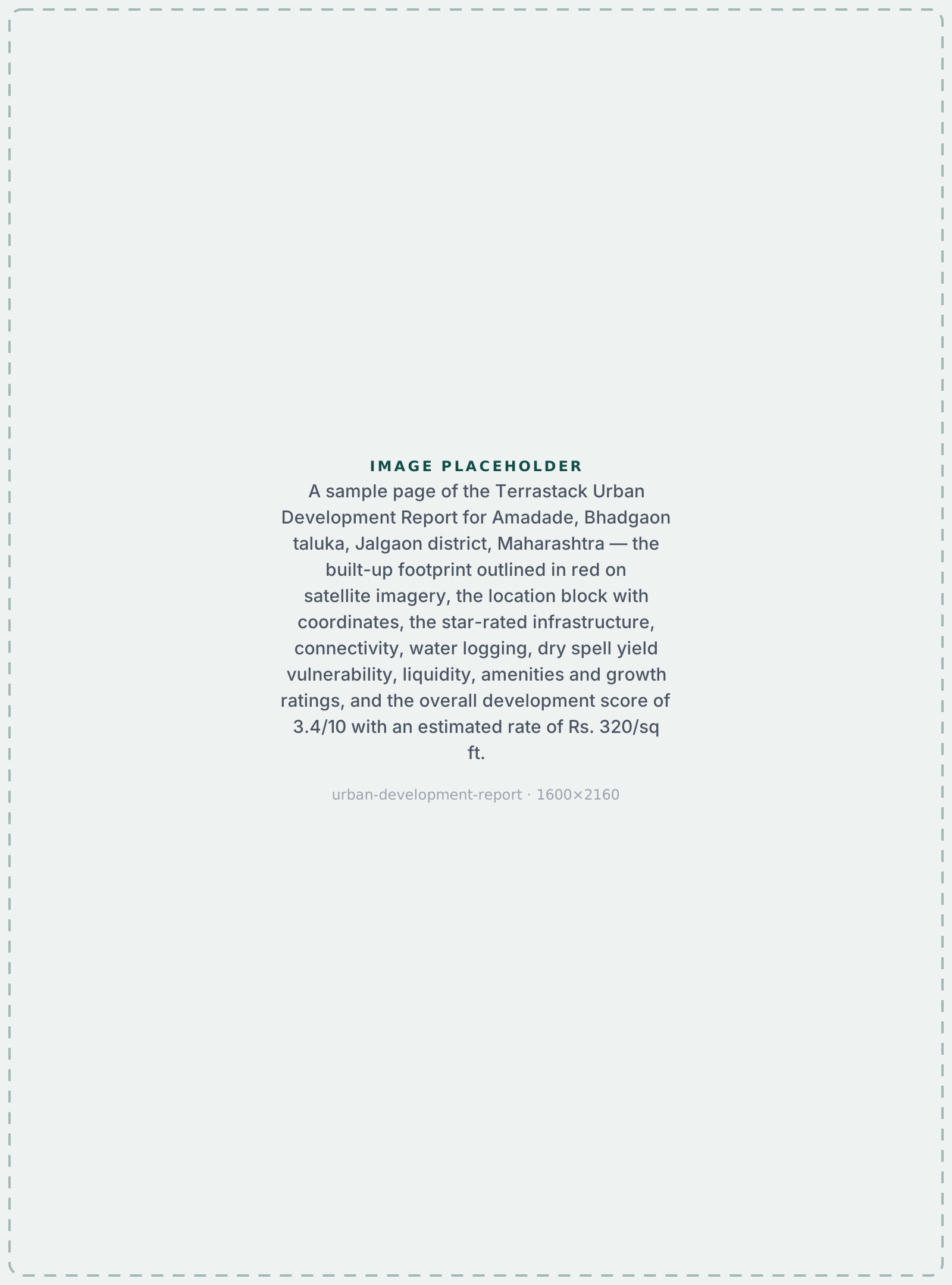
- Urban Intelligence Platform: We've spent many years understanding and modeling rural India. Now we're applying the same approach to urban and peri-urban areas. Property valuation, development analysis, and infrastructure mapping for cities and their expanding edges. Beta expected Q1 2026.
- Expanded State Coverage: We're expanding coverage at the plot-level to the following states by end of Q1: Uttar Pradesh, Telangana, Tamil Nadu, Karnataka, and Punjab. We will also target village-level expansion to Gujarat, etc. where land record digitization is not fully complete.
- TerraView AI: This is our upcoming intelligent map assistant designed to simplify spatial analytics. Talk to our map assistant and build custom analytical views and generate queries in real time. Beta already live!
What We're Exploring
- Carbon Credit Verification and Crop Residue Estimation: Early R&D into how our spatial intelligence could support bio-residue estimation and tracking for biofuel generation. If you're working in this space, we'd love to talk.
- Macro Risk Indices: Mapping access to emergency services, hospitals, and PHCs to assess health and life risk — complementing our sales-focused indices on commercial activity, infrastructure growth, and affluence. Especially relevant for life insurance.
Get In Touch
Want early access to our Urban Intelligence beta? Interested in a pilot for our current products? Just want to chat about what we're building?
Reach us at aaryandangi@terrastack.in, or book a demo at terrastack.in.